Real-World Applications of Satellite Sense
See how connected data can help operators understand equipment activity, confirm service, monitor conditions, and make smarter decisions across a variety of applications.
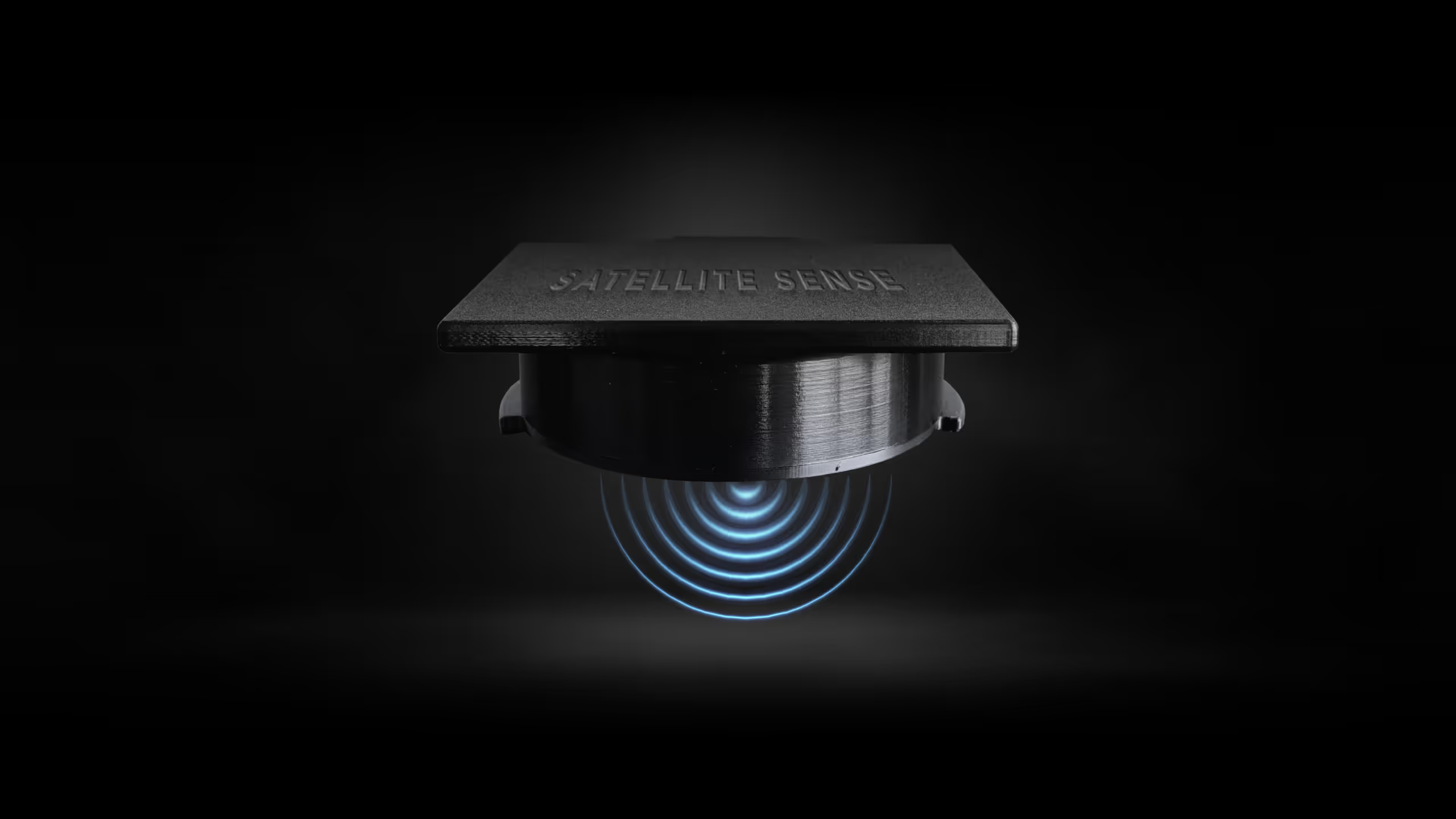

See how connected data can help operators understand equipment activity, confirm service, monitor conditions, and make smarter decisions across a variety of applications.
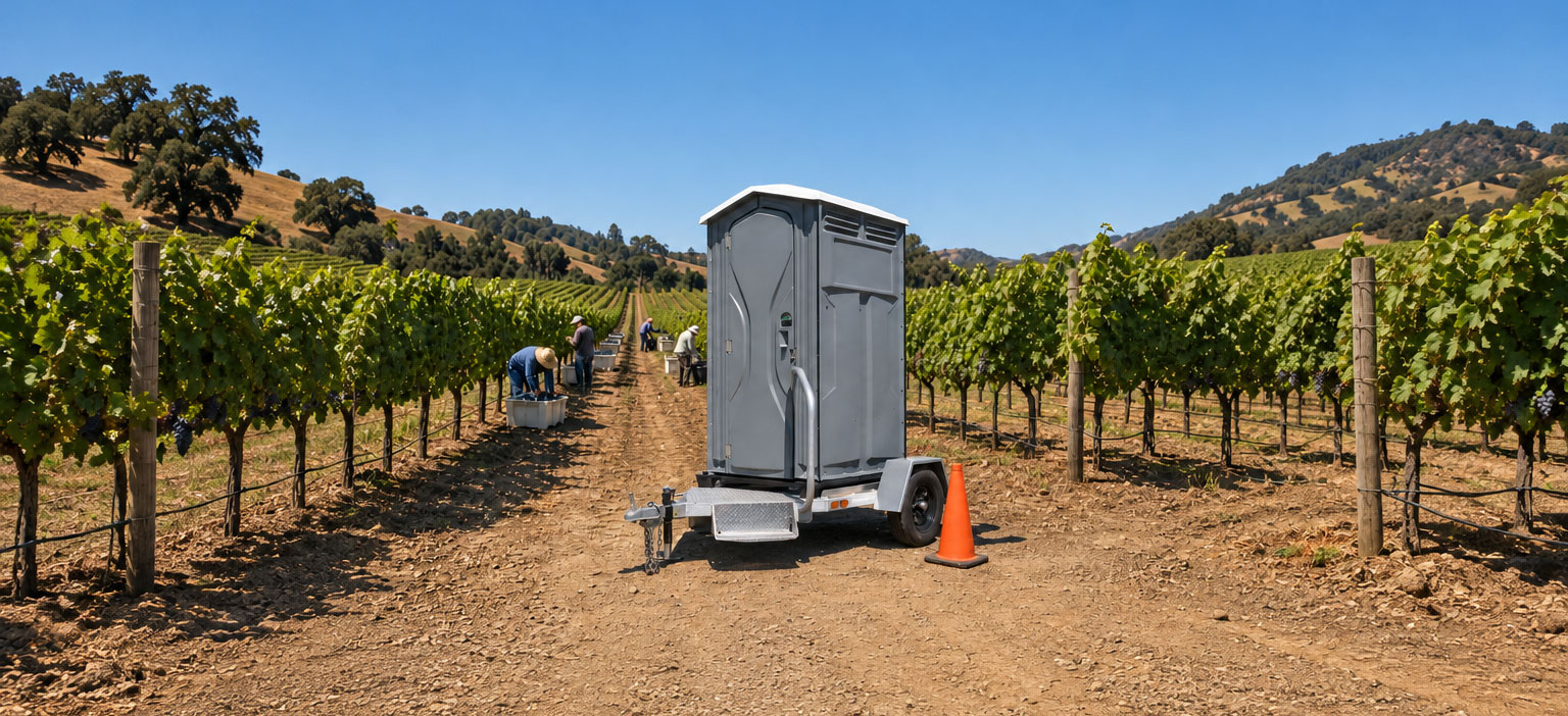
For Pioneer trailers and equipment deployed across rural areas, farms, and large properties, visibility can become a challenge. Satellite Sense gives operators another layer of insight into where equipmentis located, the conditions it is experiencing, and how it is being used.
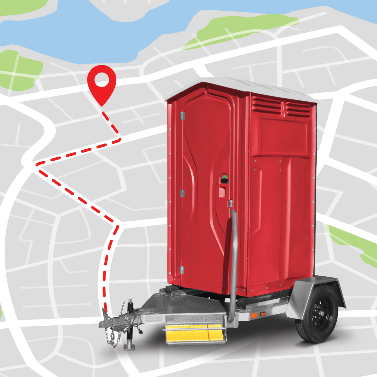
Monitor the location of Pioneer trailers and other connected equipment in the field. This can help operators manage deployed assets, verify locations, and reduce the time spent trying to locate equipment across large or remote properties.
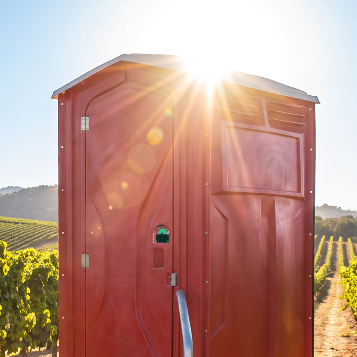
Track temperature around connected equipment to gain greater visibility into changing environmental conditions. In agricultural and rural applications, temperature data can help operators identify periods when equipment may require additional attention.
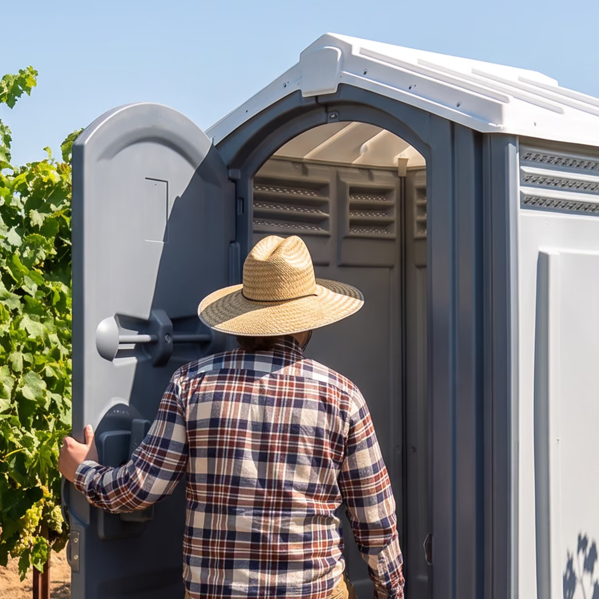
See how frequently connected equipment is being used instead of relying solely on schedules or assumptions. Usage data can help operators better understand demand and make more informed decisions about placement, servicing, and fleet utilization.
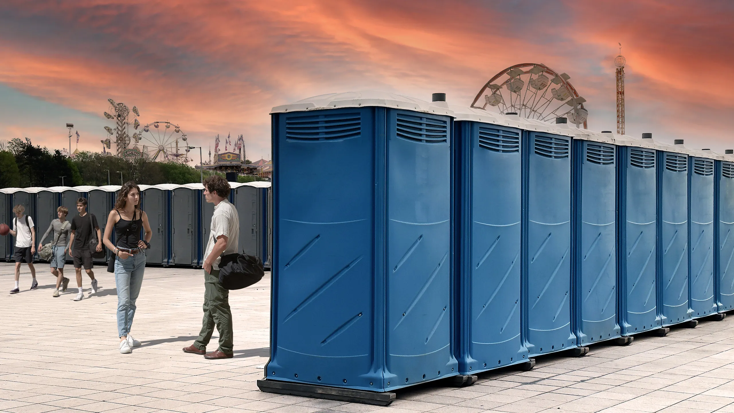
Events create dramatic swings in portable restroom usage. Satellite Sense can provide operators with real-world usage and service data that helps them understand what actually happened during an event—not just what was originally estimated.
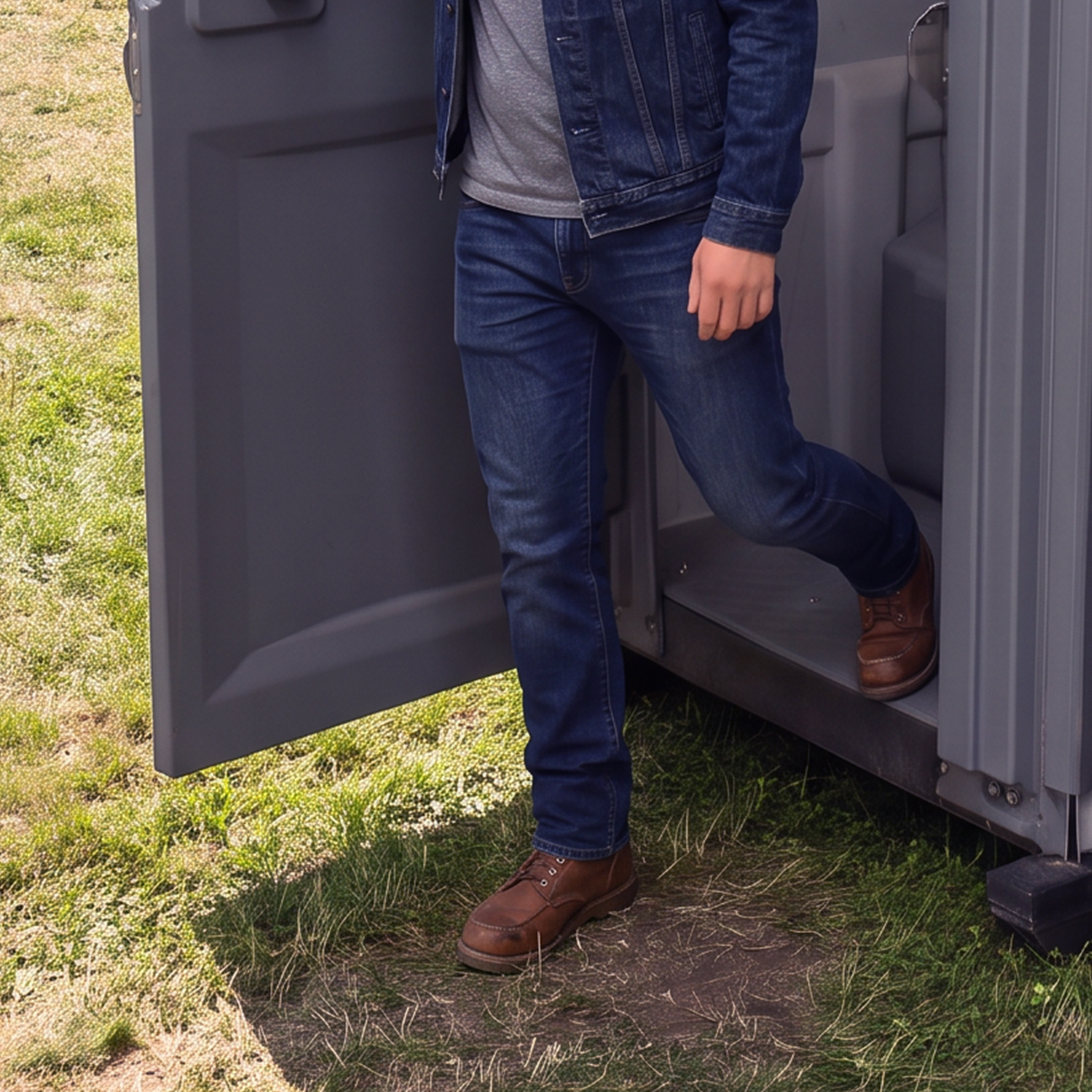
Understand how restroom usage changes throughout an event. Identify high-use locations, peak periods, and units receiving less traffic to better understand how the fleet performed.
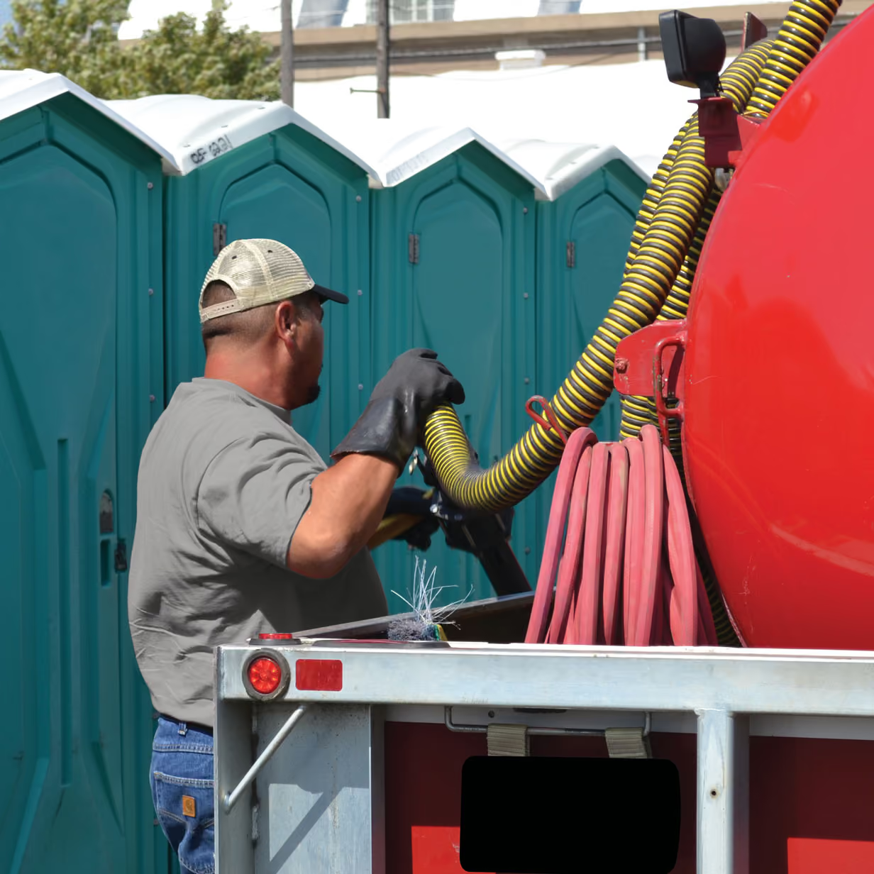
Create greater visibility into servicing activity during an event. Operators can use service data to help confirm that equipment was attended to as planned, particularly across large venues with multiple service areas.
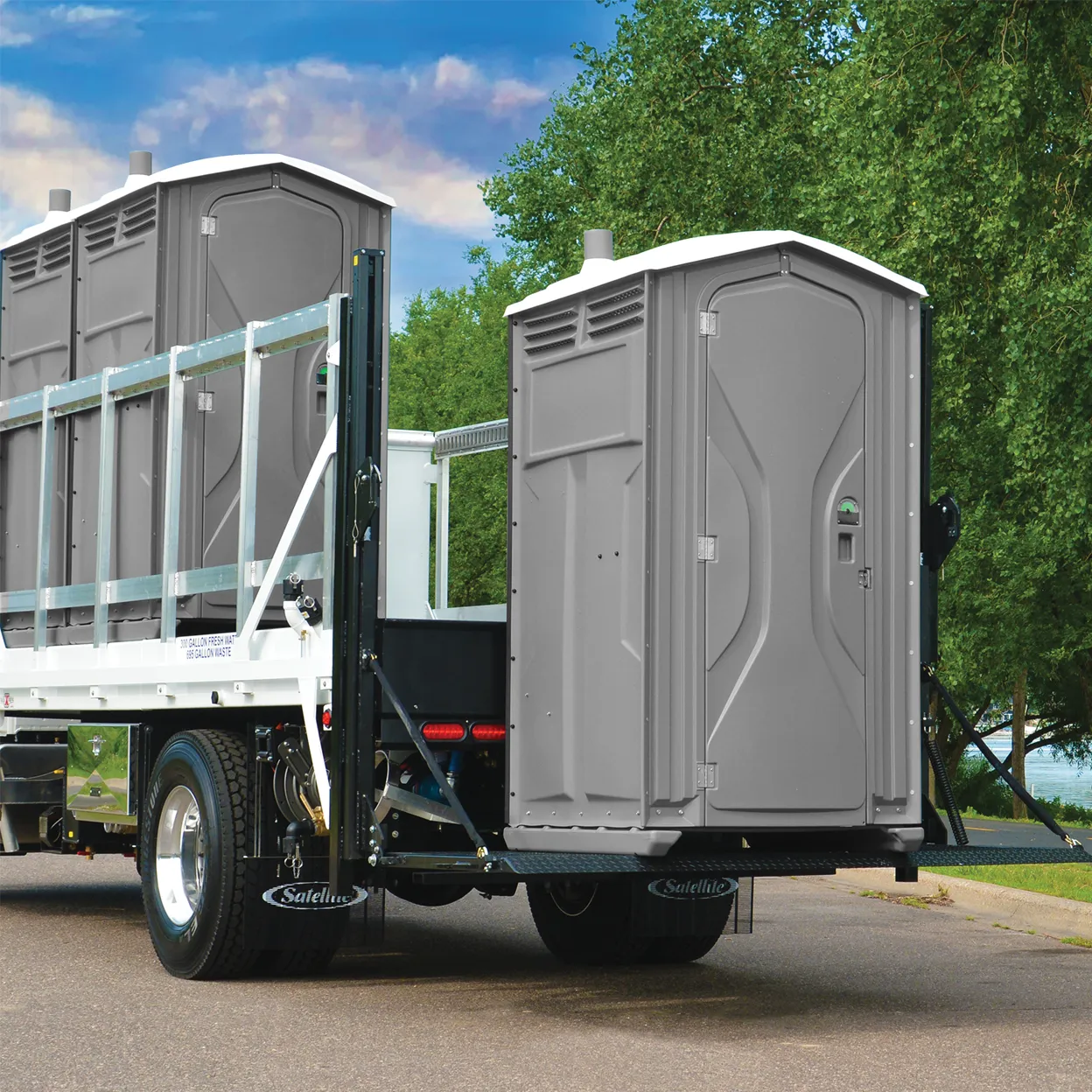
Historical event data can become a valuable planning tool. Instead of starting the next proposal entirely from estimates, operators can reference previous usage patterns to help determine equipment quantities, placement, and service requirements.
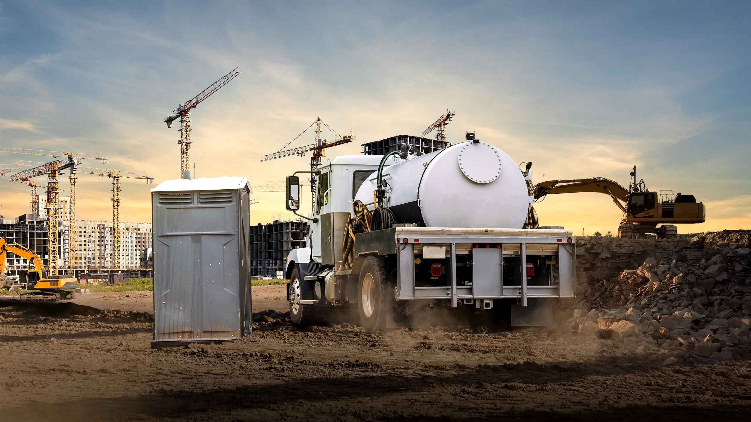
Construction projects can run for months or years, with workforce size and sanitation needs changing throughout the project. Satellite Sense can help operators understand actual usage and service activity across the life of the job.
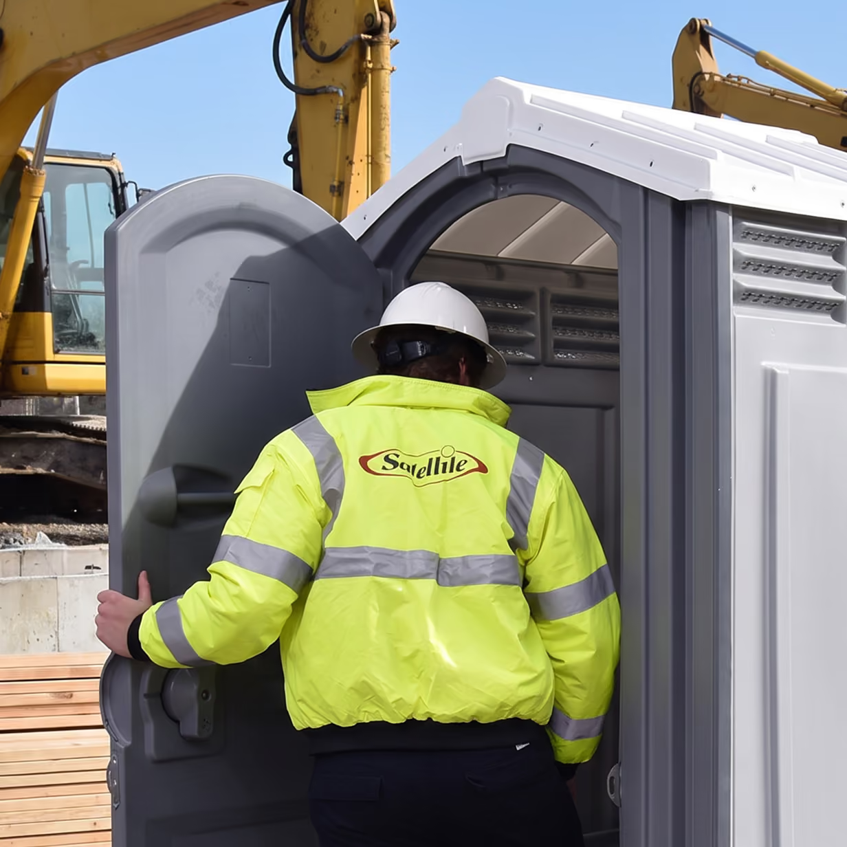
Track restroom activity as projects progress. Usage data can help reveal when demand increases or decreases as crews, subcontractors, and project phases change.
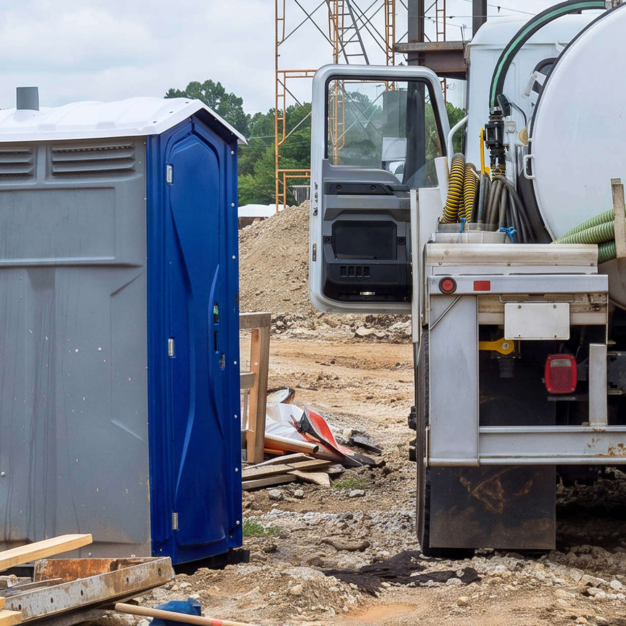
Gain additional insight into servicing activity across large jobsites. This can be particularly valuable when numerous units are spread across different areas or phases of a project.
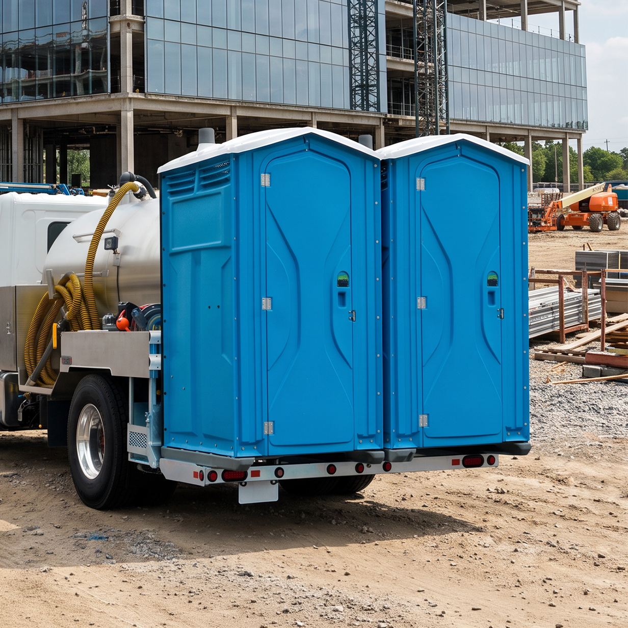
Historical usage information can provide another reference point when quoting similar construction projects. Operators can use previous project data to better understand equipment demand and servicing patterns.
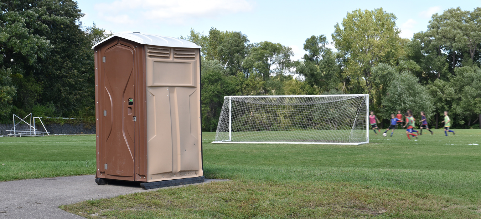
Parks, trails, campgrounds, sports complexes, and recreational areas can have portable restrooms spread across large geographic areas. Satellite Sense helps operators better understand activity and conditions without relying entirely on physical inspection.
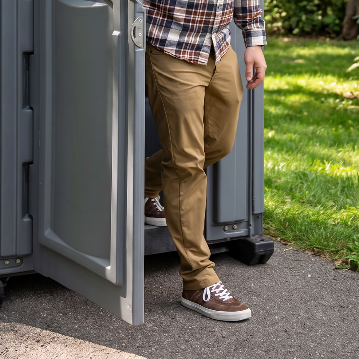
See which locations experience the greatest restroom activity. Usage information can help operators identify high-traffic locations and better understand seasonal, weekend, or event-driven demand.
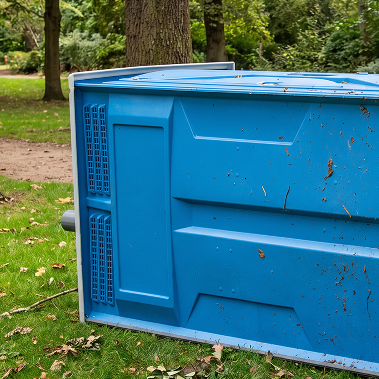
Receive visibility when a connected unit experiences a tip-over event, helping teams identify situations that may require attention without waiting for the next scheduled visit or a customer report.

Track temperature conditions around connected units, providing another layer of information for equipment located outdoors throughout changing seasons.